Mairie de Toulouse
Facilitating understanding and support for a major urban project

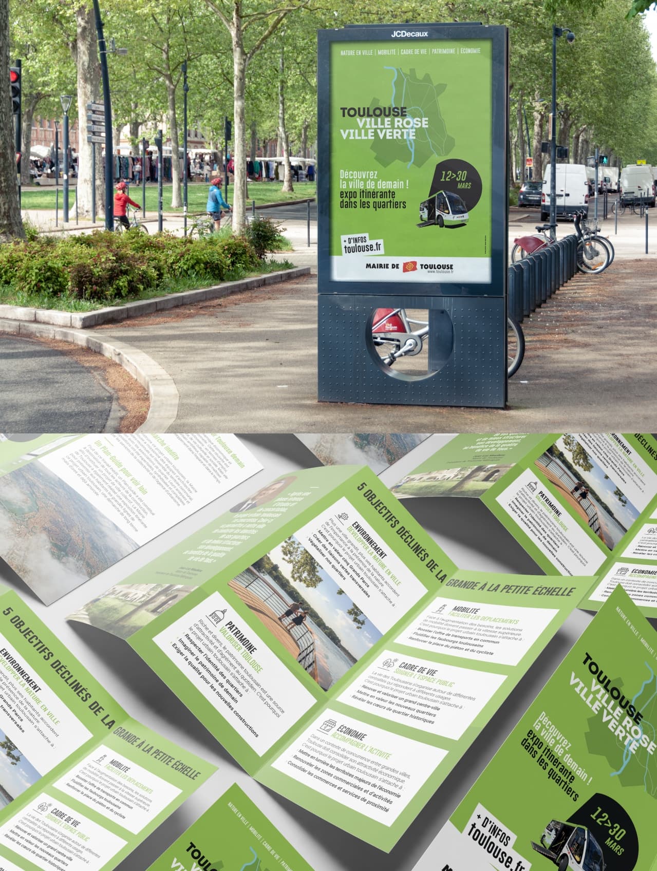
With the aim of meeting residents by moving the exhibition closer to each sector and neighbourhood of the city, the exhibition offered a "reading" of the urban project to make it visible and understandable to as many people as possible. The exhibition content was based on both the "Manifesto of the urban project," which presents the political vision, and the "Urban project guide plan," which translates the vision into technical projects and concrete achievements. The approach was flexible in implementation, highly educational, and impactful among residents. In city centres, at open-air markets, and near sports or cultural events, mediators and neighbourhood officials engaged with the people of Toulouse. An electric shuttle allowed visitors to explore the urban project comprehensively, as well as each neighbourhood, using a large interactive touch table and intuitive navigation.


An interactive travelling exhibition designed to present the urban project to the people of Toulouse
This large-format tactile device is an ideal way of meeting the objectives of the project, because maps are a medium that is very popular with all audiences. Maps in general are now well understood by the whole population thanks to digital services such as Google Maps, Google Earth and their variations on geolocation websites. Everyone likes to take a step back and look at a map from a different angle, to better understand an urban system as a whole. But people also like to see their street map and the roof of our house from the sky! Through this exhibition, visitors were able to understand the overall vision for the city and project themselves into the future of the area in which they live. To support the project, Inconito also designed the visual identity and communication materials for the operation.
